Zheng he Map:
The Zheng He Map was made in 1418 in China, by Zheng He an explorer,
diplomat and fleet admiral, who commanded voyages to Southeast Asia, South
Asia, the Middle East, and East Africa, by order of the Ming government. The
Image underneath is the map that Zheng He painted and described to be Earth.

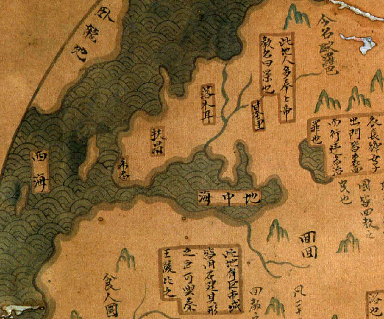
Image– Zheng He Map (the
oldest world map ever made).
One interesting thing is that Zheng He’s
fleet only voyaged in the Indian, eastern Africa and a little bit of the Pacific Ocean, he
didn’t ventured himself in the Atlantic or even the Mediterranean.
How could he describe a world, a round world,
which he had never even visited?
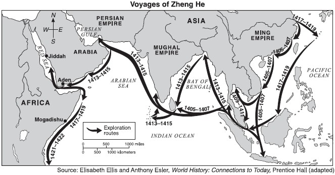
Image - Voyage of Zheng he fleet.
In the map we see perfect details about the
American Continent, that wasn’t discovered until 1492. Also, in Europe, we see the Iberian Peninsula and the Italian Peninsula perfectly portaited considering
the age of the map.

Image32 (right) – Statue
of Zheng He in China.
Sem comentários:
Enviar um comentário